
Finding meaning

As I start to write this report of a trip into Victoria’s Central Highlands, I am looking at my photos, four weeks after taking them, disappointed.
As usual, I had downloaded my files immediately after returning from the trip and done a quick review of the images. I made a preliminary selection and edit on a couple. Almost always I have a sense of disappointment – the RAW images cannot live up to the vividness of the recent experience – but I feel it is important to reflect on what worked and what didn’t while the experience of taking the images is fresh in my memory.
Usually this disappointment is temporary and within a few days I am getting enthusiastic about at least some images. Enough to get editing, which usually leads to more enthusiasm and the discovery of more images worth working on.
But not this time. This trip had pushed me to the limit, which meant the photography in the field was compromised and, even with a few weeks’ separation, the intensity of the experience still colours my opinion of the photographs.
I had been thinking about this walk for a couple of years. Last year I bush bashed across from an overgrown management track to a section of creek that flows off the Baw Baw plateau. That time I returned the same way (more or less, there is no way to follow the same route in thick scrub), realising that further exploration would require more than one day.
So the plan was in place for an overnight walk, with plenty of time to explore. I would complete a loop – up the management track, traverse across to the creek and then follow the creek back down to the road.
The Walk In
The first day, about 4 hours of walking, went as planned.
Walking off track requires thousands of little decisions. Do I veer uphill or downhill around a tree? Do I push through some tight scrub or do I look for a way around? Where best to climb down and then out of a creek gully?
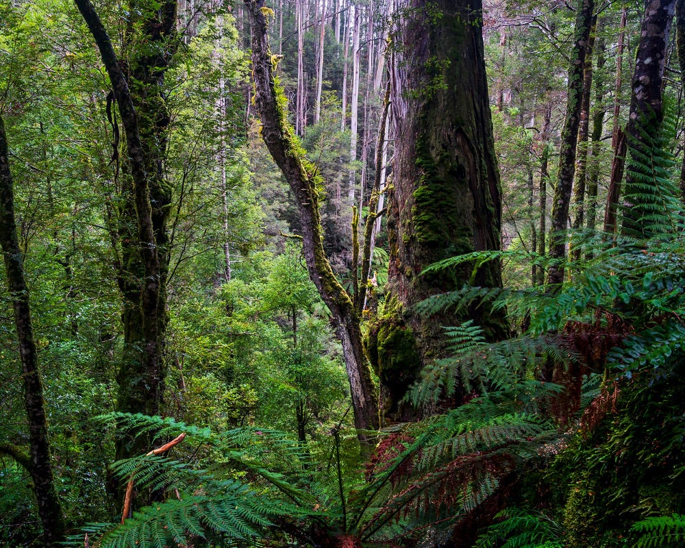
The vegetation and topography were familiar. I passed through a jumble of massive boulders making their slow geological way down a gully. The boulders towered over me as I struggled to push through tree ferns jammed tight between the rocks and fallen timber. I remember the exhilaration of first discovering them on that first trip. But like last time, there was no time to search for compositions, so I kept moving.
I ended up slightly more upstream than previously – precise navigation is nearly impossible – at the top of a very steep river valley. So steep, the hillside seemed to bulge outwards and I couldn’t see the valley floor far below. I had to continue walking upstream, parallel to the creek, until finding an intermittent watercourse that had created a safe way down.
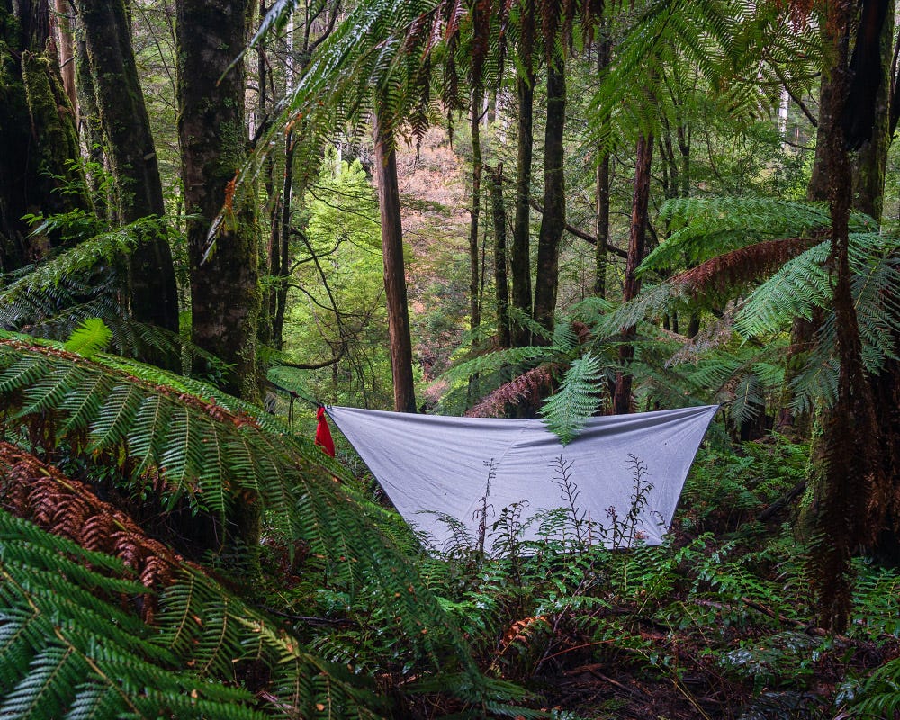
By the time I reached the creek I needed to find a site for my hammock and dinner was eaten in the dark. A long drive, a difficult walk, and no photography. But I was in place, expecting better conditions for forest photography (cloud and rain) and looking forward to tomorrow.
The Descent
I slept well that night despite the heavy rain – the hammock (its second outing) was performing well. I was keen to get some images so I spent about an hour working my way upstream before breakfast.
The image below was taken at the high point (about 1000 metres elevation), at the base of a huge boulder fall that filled the river valley. It shows nicely the nature of the terrain – the creek dropping rapidly between towering valley sides. From here, the creek falls about 200 metres each kilometre.
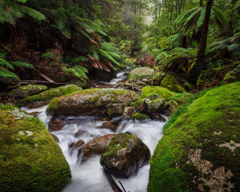
I packed up and headed downstream. The going was very slow. Ideally, I would be walking down at creek level, among the moss-covered boulders and the more open tree ferns and myrtle beech, below the wet eucalypt forest with its thick scrub and water ferns that grow densely together up to waist high.
But here, the creek itself is not very wide, with steep sides and full of large boulders, the water a continuous cascade. The vegetation, steep terrain and fallen trees conspire to make travel difficult.
Typical of this ancient continent, the landscape seems fixed. But there are signs of very old movement.
In places there had been a landslip in some distant past, which had scooped out a section of hillside. Now fully covered in vegetation, the steepness at the edges required that I climb high up the hill to go around if the creek was impassable.
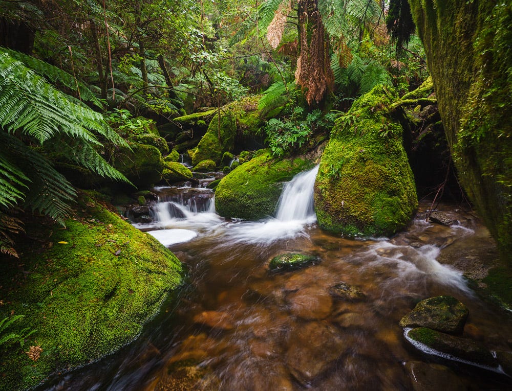
And there were sections where massive boulders had fallen creating a rock jam with significant drops (and some nice waterfalls, if only I could get to them). More impassable barriers.
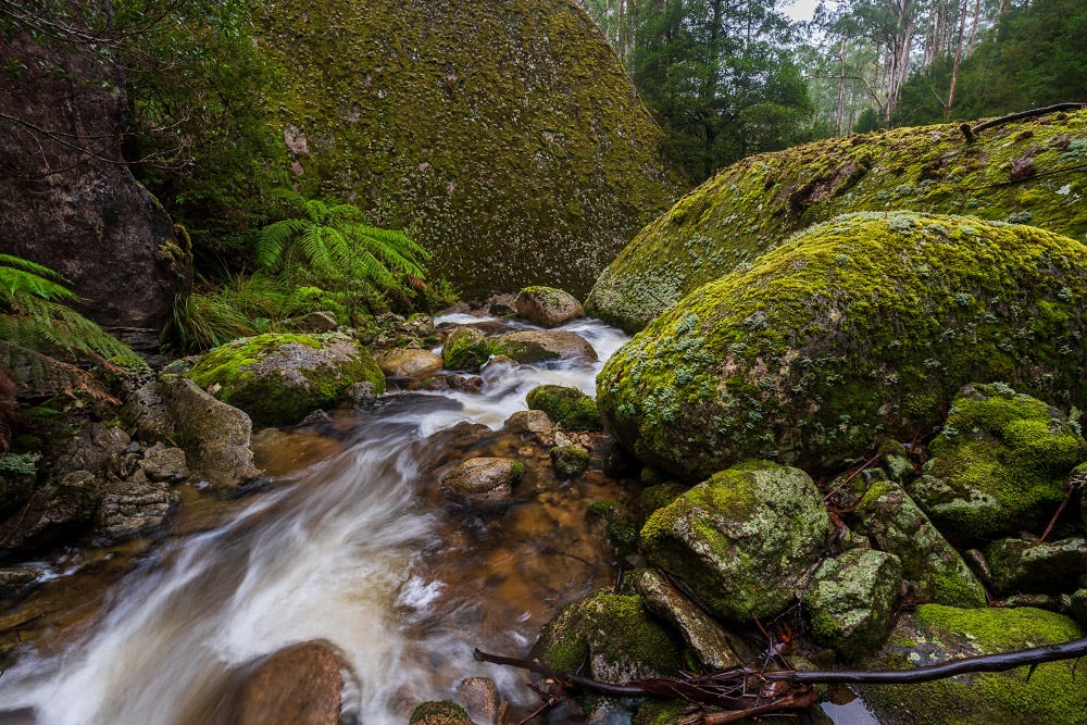
My photography is about exploration of natural places. Sometimes it is about human engagement with nature but mostly it’s about wild, untouched country. As a result, I have done a lot of off-track walking, and I know patience is the key. But this was slow, hard work.
Look closely at these photos and search for the path you would take downstream.
In this country you are forever peering through the trees to see if the creek below you might be doing something interesting. If so, you slip and slide down to explore a scene. The cost is the steep climb back out to terrain that can be traversed.
I reached the point where a small creek came in from the south. This was the exit point I had taken last time back to the management track. I thought long and hard about taking that route.
It would still be a couple of hours back to the car but it was known. I had no idea how long following the creek would take, certainly several hours longer. The temptation to go with the known, to avoid the work and discomfort, was strong.
I had some trail mix and decided to continue down.
Over the next couple of kilometres, I climbed up and down the valley side four or five times. It is these locations that produced what I felt were disappointing images. Technically they are fine. The location was spectacular. I just feel the compositions are off amongst the complexity of boulder falls.
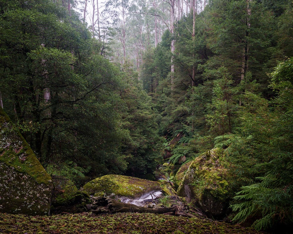
As I descended, the nature of the creek subtly changed. Rather than cascading straight down the hill, the creek had more curves between the mountain spurs. This created some deeper pools but also meant the outside of the bends were very steep.
By now I had crossed the creek numerous times up to my thighs in places to avoid the steepest sections (mercifully I was spared the discomfort of wet underwear!). But I was getting tired. Travelling solo I am very conscious of risk. Steep country, thick vegetation where you can’t see where you’re placing your feet, slippery fallen timber and large boulders in fast flowing water is high risk terrain. Risk escalates quickly when getting tired or rushing.
My hamstrings and hip flexors were beginning to cramp as I crawled under tree trunks or climbed over obstacles with a heavy pack. I was dropping down to the creek less frequently. This became about getting there, not photography. I was conscious of trade-offs – stop and have a break, or keep moving and stay warm?
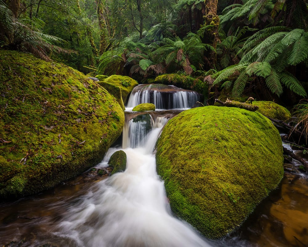
I was consulting my map on my phone with increasing frequency, hoping the distance to the road would magically close. I kept looking for a large waterfall I had previously photographed but I completely missed it, such is the thickness of the bush.
Finally, a glimpse of the bridge, a few signs that other people had walked here and then I stumbled into some blackberries, a sure sign the road was only metres away. I was out.
I enjoyed the last kilometre of road, able to stride out. The 8 kilometres of off-track walking had taken 6 hours 20 minutes (about 47 min/km), with 769 metres of climbing and 962 metres of decent. Not an unreasonable pace.
If I am honest, the walk was tougher than it should have been, even with a 15 kilogram pack. I have some big plans for the end of the year and will need to get fitter and stronger. But this is as much about mental approach as fitness.
With a high cognitive load focusing on the journey, it was difficult to get into that ideal photography flow. There have been times when the conditions or time pressures have meant I haven’t taken the time to get the photograph. I try not to second guess myself in the comfort of home. But this was perhaps the first time my emotional state affected how I see the landscape (and the resulting photographs).
One thing I do know – repeat visits provide familiarity with the terrain, make the journey easier, and reveal new understandings of the landscape. I will be back.
Postscript
Now, as I complete my final draft of this newsletter some 8 weeks after the walk, I feel I am coming to terms with these images. I still think they could be improved upon, but in the struggle to write this newsletter and time sitting with the images, I have come to understand better what they represent.
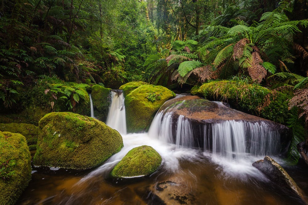
Not my experience, although that still colours how I perceive them. Instead, they illustrate the absolute wildness of this country. Every image shows the difficulty of travel; every metre hard fought. There is no path, no umbilical cord back to civilisation, no concession made to man.
I want to explore locations I care about, to make discoveries, and find ways to share those discoveries. I entered this valley not knowing what I hoped to learn or observe, let alone what images I might make.
This is not the kind of country to make postcards; the absence of man is palpable. As a result, building a relationship with this place is difficult, it is too uncompromisingly indifferent. But now I have better sense of the story I want to tell and the images I need.
Definitely challenging territory. Maybe not your favorite photos, but clearly show how tough the going is!
And waterfalls are always nice to see!